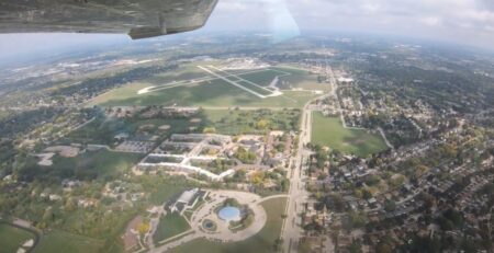
The FAA’s From the Flight Deck video series uses cockpit-mounted cameras to capture runway and taxiway footage and combines them with diagrams and visual graphics to clearly identify hot spots and other safety-sensitive items.
This video explores why Palm Springs International is a challenging airport for controllers and pilots alike.
Palm Springs International is a medium sized, multi-use airport located on the northern end of the city of Palm Springs, California. The traffic mix at the airport includes general and corporate aviation, air carriers, and military.
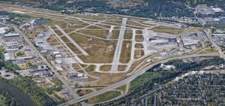
The airport configuration consists of parallel runways with staggered thresholds and the taxiway system provides access to businesses, terminals, and hangars located on the east and west sides of the airport.
Pilots flying into Palm Springs need to be especially aware of the local terrain that surrounds the airport. San Jacinto Peak is just one of several mountains that exceed 10,000 feet and is located just ten miles west of the airport. This video prepares pilots for other challenges, runway configurations and hot spots at PSP.


